Spatial data in Roihu#
Large commonly used Finnish geospatial datasets with open licenses
Removes transfer bottleneck
All Roihu users have read access
~20 TB of datasets available:
Paituli data, with virtual mosaics for raster data
Finnish Environmental Institute (SYKE) open datasets: CORINE land use etc
Forest center: canopy height, forest mask, gridcells, forest resource plots
NLS automatically classified lidar data
LUMI does not have spatial data on local disk.
Paituli#
Spatial data download service
~300 Finnish datasets
All datasets open to everyone
Also historical versions of several datasets
Possibility to publish own datasets for universities and research institutes
Ministry of education and culture supports financially, CSC maintains
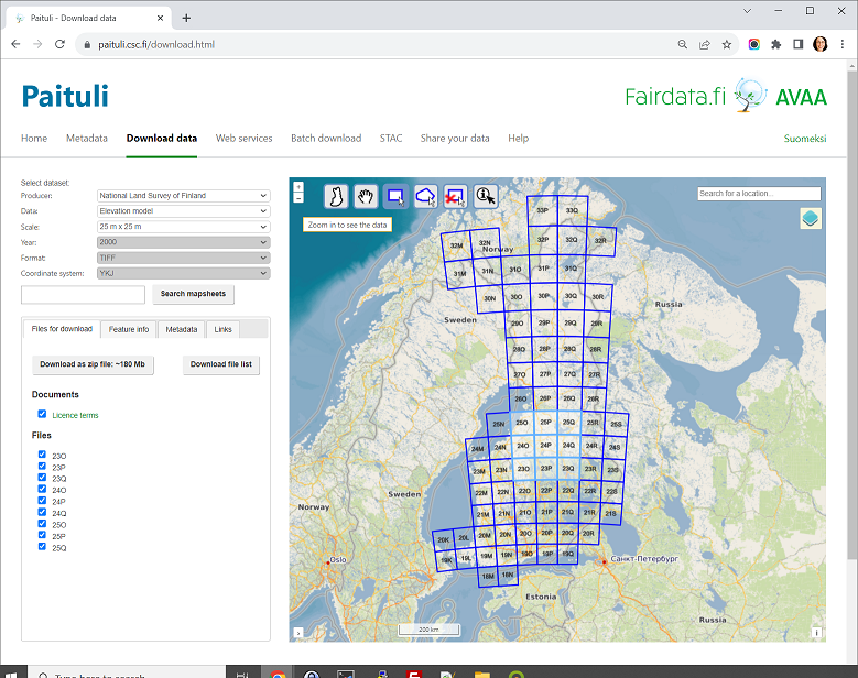
Paituli data access in Roihu:#
As files in
/dataset/project_2019680Raster datasets via STAC
Rasters divided to mapsheets as virtual rasters
Majority via OGC APIs, both old and new standards
Some popular datasets#
NLS, administrative borders
NLS, topographic database
NLS, basic map and topographic maps
NLS, DEM - 2, 10 and 25m
Statistics Finland, population grid 1 km
Statistics Finland, municipalities key figures
Statistics Finland, educational institutions
Väylä, Digiroad
Statistics Finland, traffic accidents
Statistics Finland, Paavo - statistics at post code level
NLS, lidar
Finnish Digital agency, addresses of buildings
LUKE, Multi-source national forest inventory
LUKE, occurrence map for less common tree species
Finnish Food Agency, Field plots
FMI, daily and monthly weater statistics and predictions
University of Helsinki, Luomus, biodiversity threats