Why and how?#
Why use a supercomputer?#
Computing resource needs:
CPU and GPU time
Memory
Storage
Ready computing environment, pre-installed GIS-tools
Run several computations at same time
Spatial data availability
Fast internet connection to data services
Collaborate with your project members
“Outsource” heavy computations, keep own computer for other usage
Good documentation, examples for spatial data analysis
CSC specialist support
Free of charge for open science at Finnish universities and research institutes.
How to use supercomputers?#
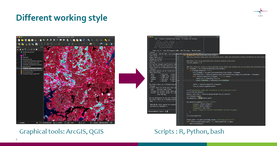
Graphical tools -> scripts#

Main work is done with scripts
Also graphical tools available on supercomputers, but mainly for viewing input and output files
Many graphical tools also have scripting options, see GIS tools for more info.
Scripts also increase reproducibility of your work
Faster computing#
Running most common GIS scripts will be as fast on supercomputer as on laptop
To speed up use parallel computing or GPUs.
Most GIS-tools have no GPU-support, so the main option is to use parallel computing
Deep learning libraries run much faster on GPU.
Parallel computing#
Only few GIS tools have built-in support for parallelization
By using scripts and dividing the data, any tool can be run in parallel
Embarrassingly parallel analyses#
Many similar, but independent tasks.
Tasks split by:
Input data: map sheets, rows in a dataframe, data from different time periods etc.
Analysis parameters: different scenarios, different variables etc.
Note, that especially with map sheets extra care might be needed for border areas, for example use overlapping map sheets with virtual rasters.
